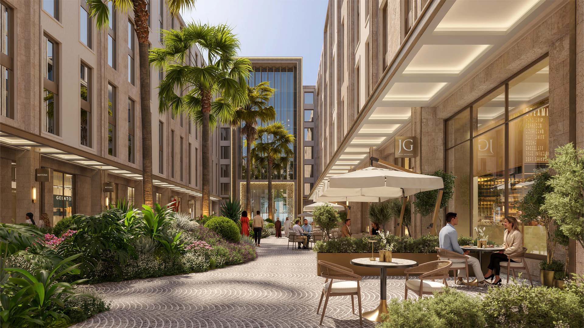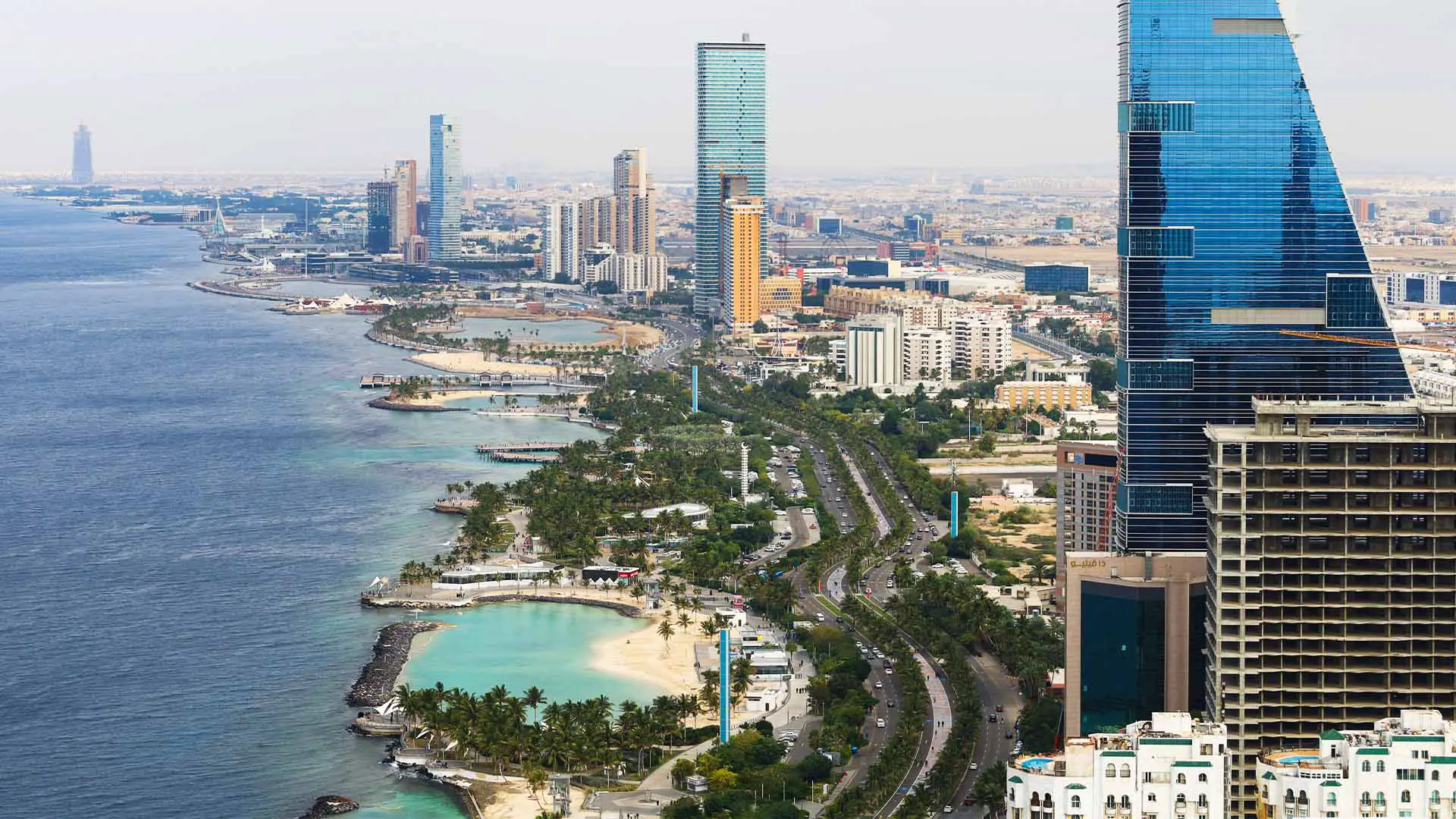


Trump Plaza Jeddah is a planned mixed use development announced by Dar Global and The Trump Organization. Early project material places it along King Abdulaziz Road in central Jeddah, positioned for quick access to the northern Corniche and major retail and business districts. Because the project is still in a “coming soon” phase, most public sources describe the corridor and nearby anchors rather than a precise street number or a single verified map pin.
This guide shows you how to map the location accurately using reliable reference points, what is nearby, and the most practical routes in and out.
Where Trump Plaza Jeddah is planned to sit
The core location cue
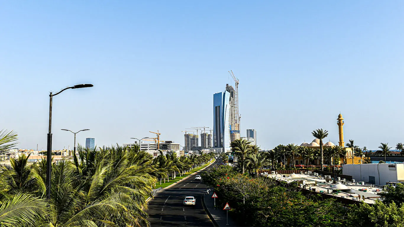
King Abdulaziz Road is the key. It is one of Jeddah’s main north south arteries and a common address line for major waterfront facing districts and commercial towers.
How to find it on maps right now
Search terms that work well
- “Trump Plaza Jeddah King Abdulaziz Road”
- “King Abdulaziz Road Ash Shati Jeddah”
- “Red Sea Mall King Abdulaziz Road” (use as a nearby anchor)
Practical mapping method
- Open your map app and find Red Sea Mall (a fixed, well marked point on King Abdulaziz Road).
- Switch to satellite view and look for the King Abdulaziz Road corridor running parallel to the coast.
- Explore nearby large parcels and new build zones along the corridor toward the Corniche.
- Save the corridor area as your working “Trump Plaza Jeddah zone” until an official pin drops.
Nearby landmarks you can use as anchors
These are the most useful reference points for visitors and drivers because they are prominent, easy to navigate to, and sit on the same north Jeddah movement pattern.
Primary anchors
- King Abdulaziz Road (the project corridor)
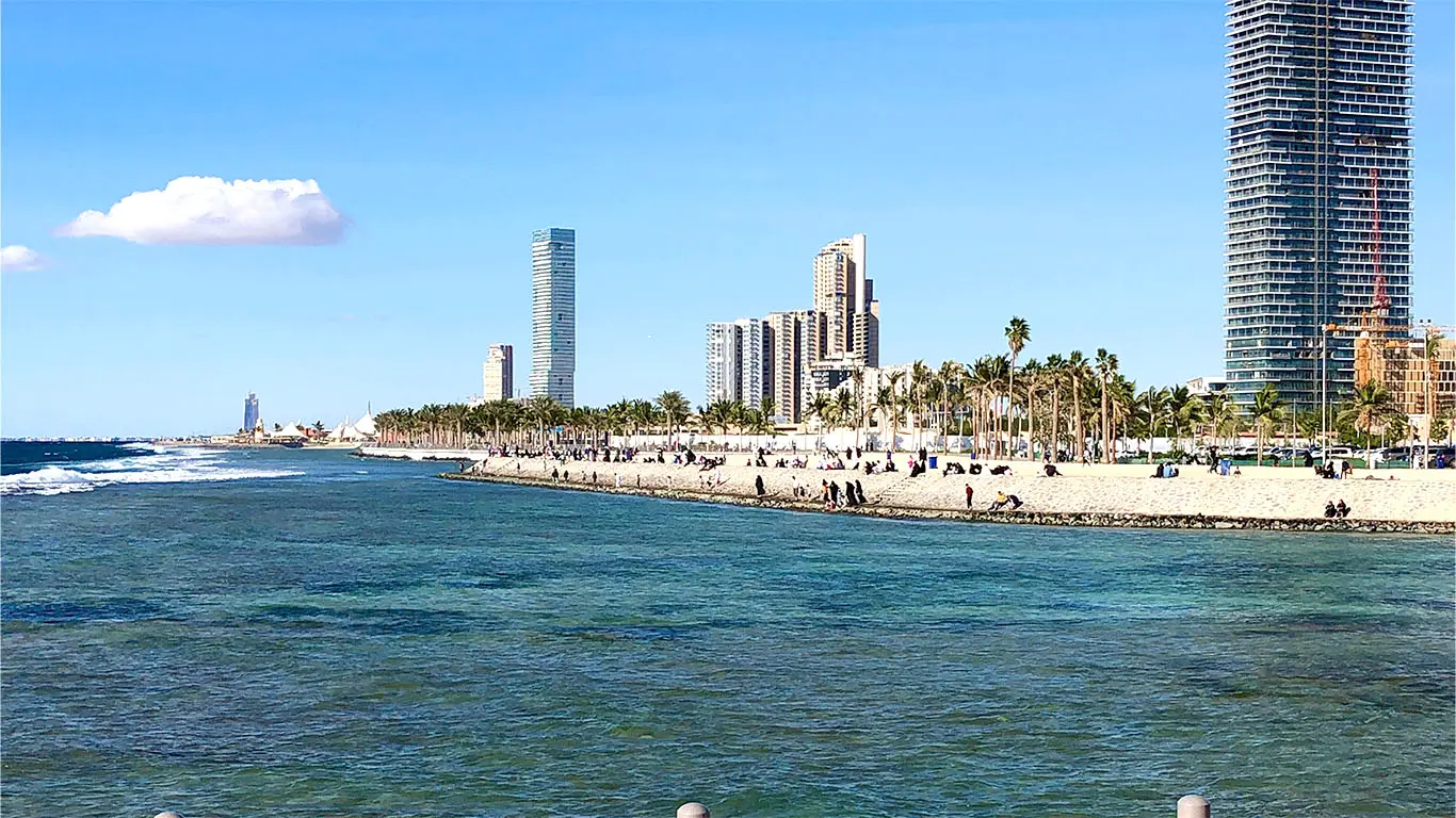
- Red Sea Mall (major retail landmark on King Abdulaziz Road)
- Jeddah Corniche (the waterfront promenade running along the Red Sea)
Secondary anchors that help with orientation
- Al Rahma Mosque also known as the Floating Mosque (Corniche landmark in Al Shati)
- Jeddah Corniche Circuit area (event zone on the Corniche)
If you are planning meet ups, drop offs, or ride hailing, using a landmark like Red Sea Mall or the Floating Mosque as the pickup reference often reduces driver confusion more than using a new development name.
Red Sea proximity and what “near the water” means here
Jeddah’s coastline is defined by the Corniche, with multiple public access points rather than one single beachfront entrance. From the King Abdulaziz Road corridor, you typically reach the Red Sea by moving west toward Corniche Road and the promenade areas.
Best Red Sea access points near the corridor
- Jeddah Corniche promenades
Good for walking, views, cafes, and public gathering areas. - Floating Mosque waterfront area
One of the clearest “arrive, park, walk to the water” spots for visitors. - Obhur waterfront and marinas (farther north)
Better for boating focused trips and longer seaside afternoons.
For boating and marina access
If your plans include charters, water activities, or yacht club style facilities, the Obhur area is the typical hub, with multiple marinas and waterfront developments.
Getting there from key entry points
From King Abdulaziz International Airport
Most trips to the north Corniche and King Abdulaziz Road corridor are straightforward highway drives. In normal conditions, you can expect a moderate transfer time, with traffic variability depending on day and hour.
Most common options
- Taxi or ride hailing
- Rental car
- Hotel car service if you are staying on the Corniche
From central Jeddah and Al Balad
You will generally head north toward the coastal districts, then connect to King Abdulaziz Road or Corniche Road depending on the destination landmark you are using for navigation.
From the Corniche itself
If you are already on the waterfront, you will typically move inland one or two major roads to reach King Abdulaziz Road destinations.
Road access points and driving tips
The simplest driving logic
- Use King Abdulaziz Road for north south movement
- Use east west connectors to reach Corniche Road and waterfront stops
What to watch for
- Event day congestion near the Corniche Circuit area
- Weekend evening traffic on waterfront promenades
- Construction detours in active development zones
If you are meeting someone, agree on a landmark first, then navigate the final few minutes locally.
Walking and last mile expectations
This is a car first city corridor. Even when the project is waterfront adjacent, the “last mile” often involves:
- short drives between landmarks
- parking then walking along the Corniche
- limited shade in midday heat depending on location
Plan your walking time around the evening when temperatures are more comfortable, especially along the water.
Quick itinerary ideas tied to the location
One hour nearby
- Red Sea Mall for dining and indoor time
- A Corniche stop for sunset photos
Half day nearby
- Floating Mosque area plus a Corniche stroll
- Coffee and a waterfront promenade loop
Full day nearby
- North Corniche stops plus an Obhur marina visit for a Red Sea on the water experience

Become a member to Access our full network. The ultimate community for global investors.
Reccomended for you

Related reading